WATERKNOWSNOWALLS
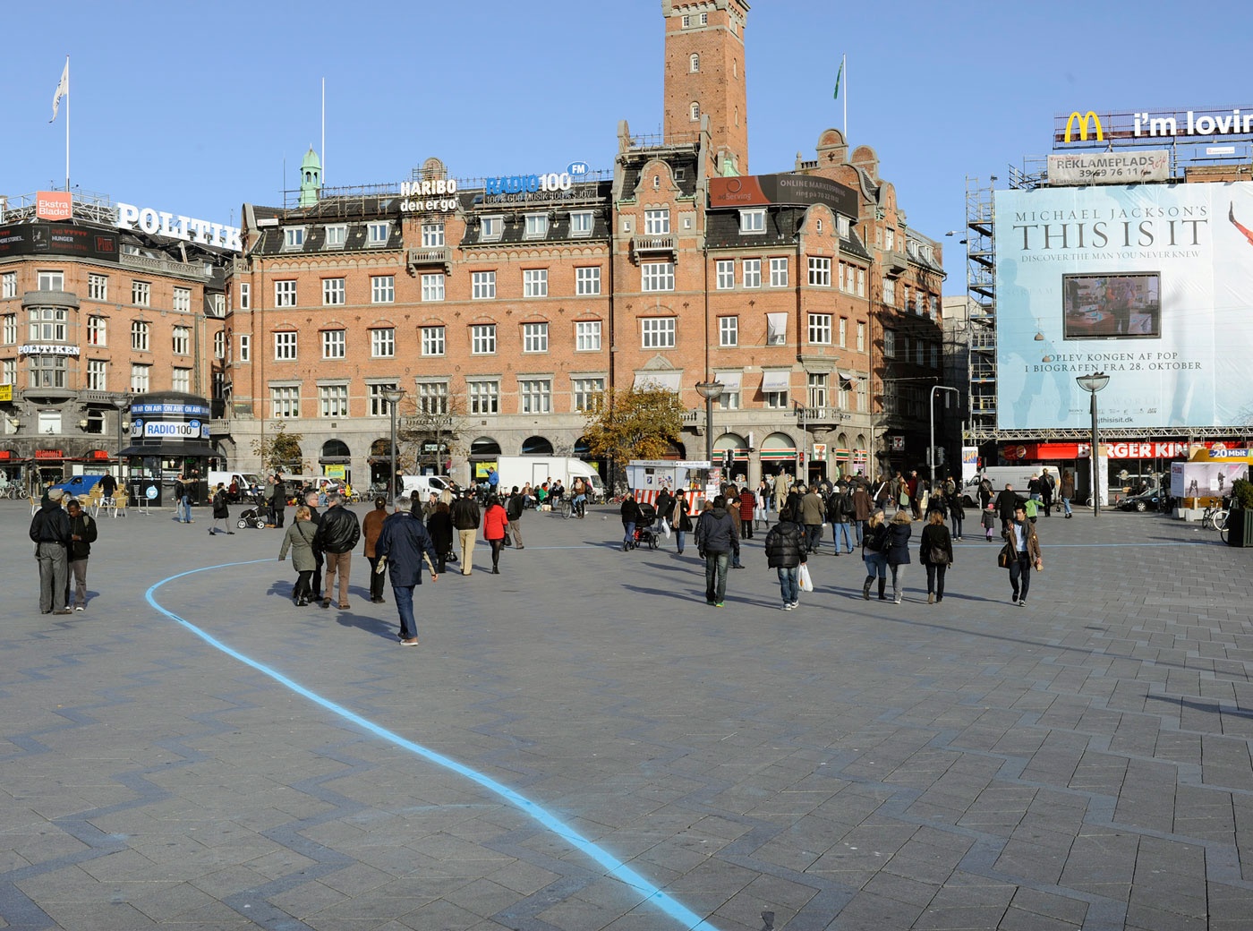
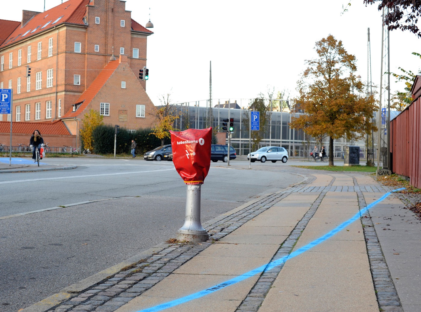
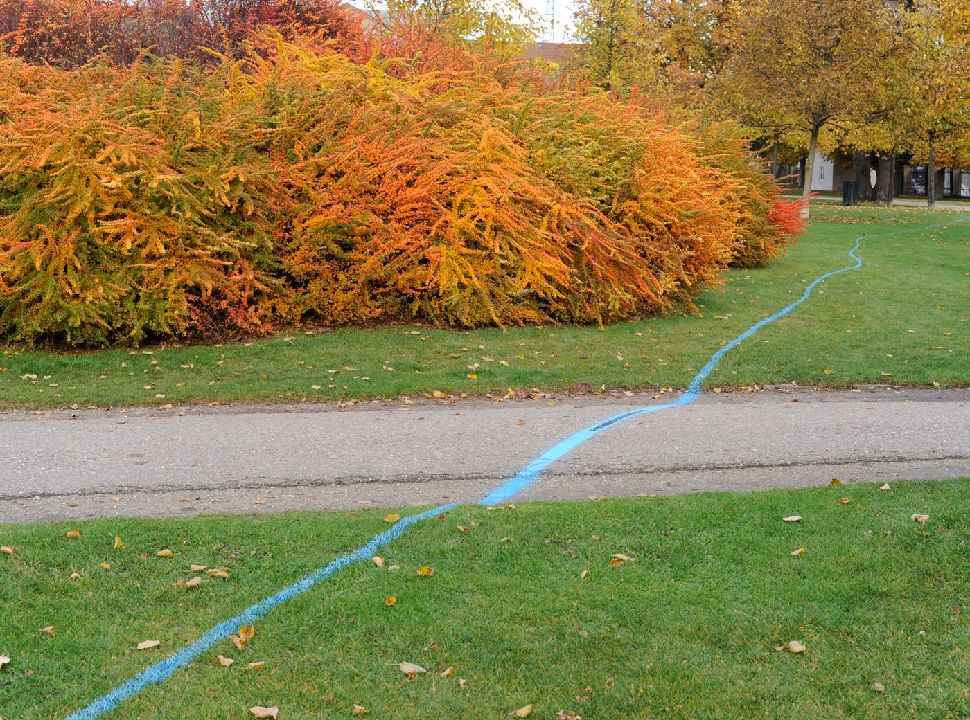
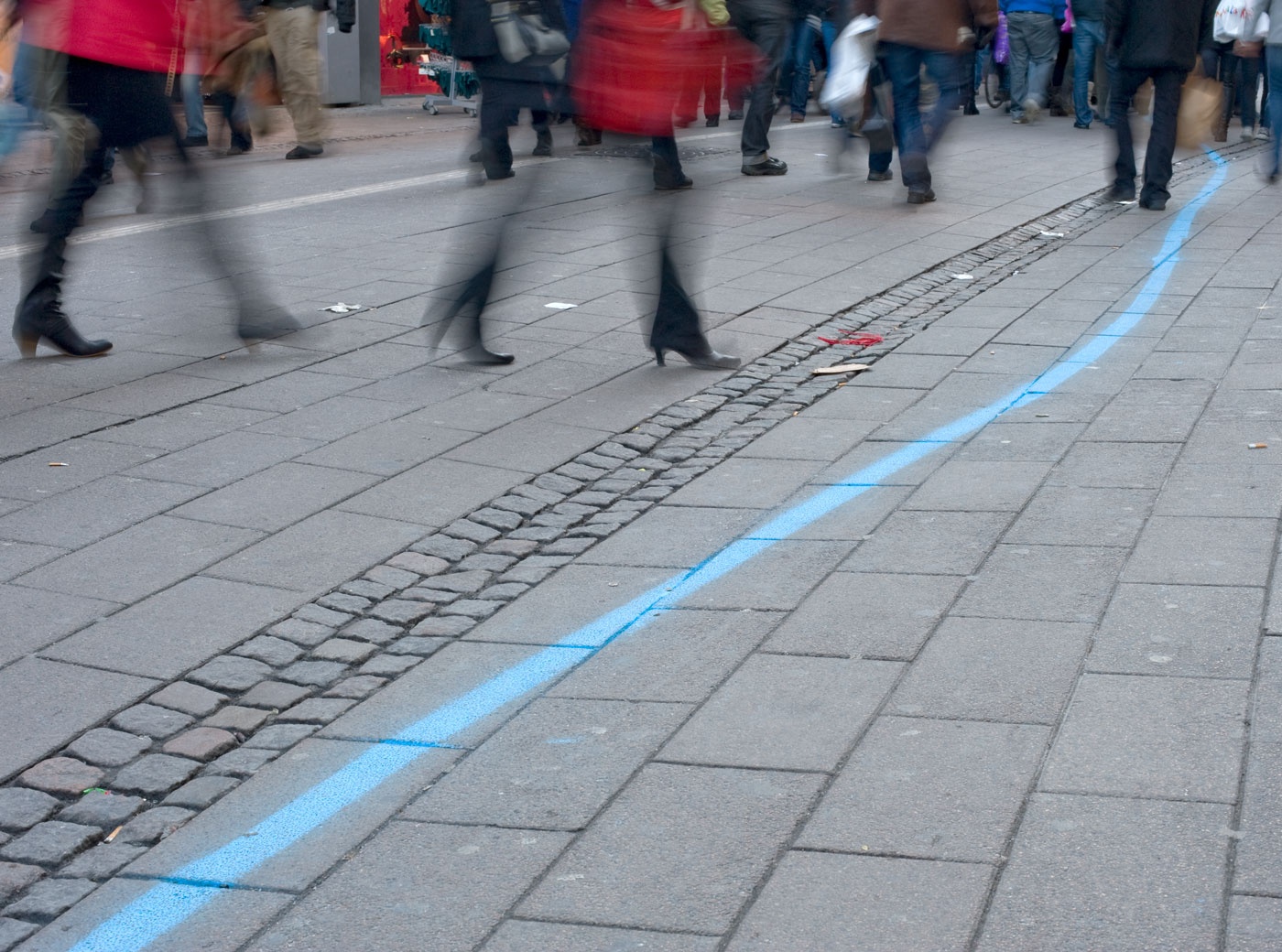
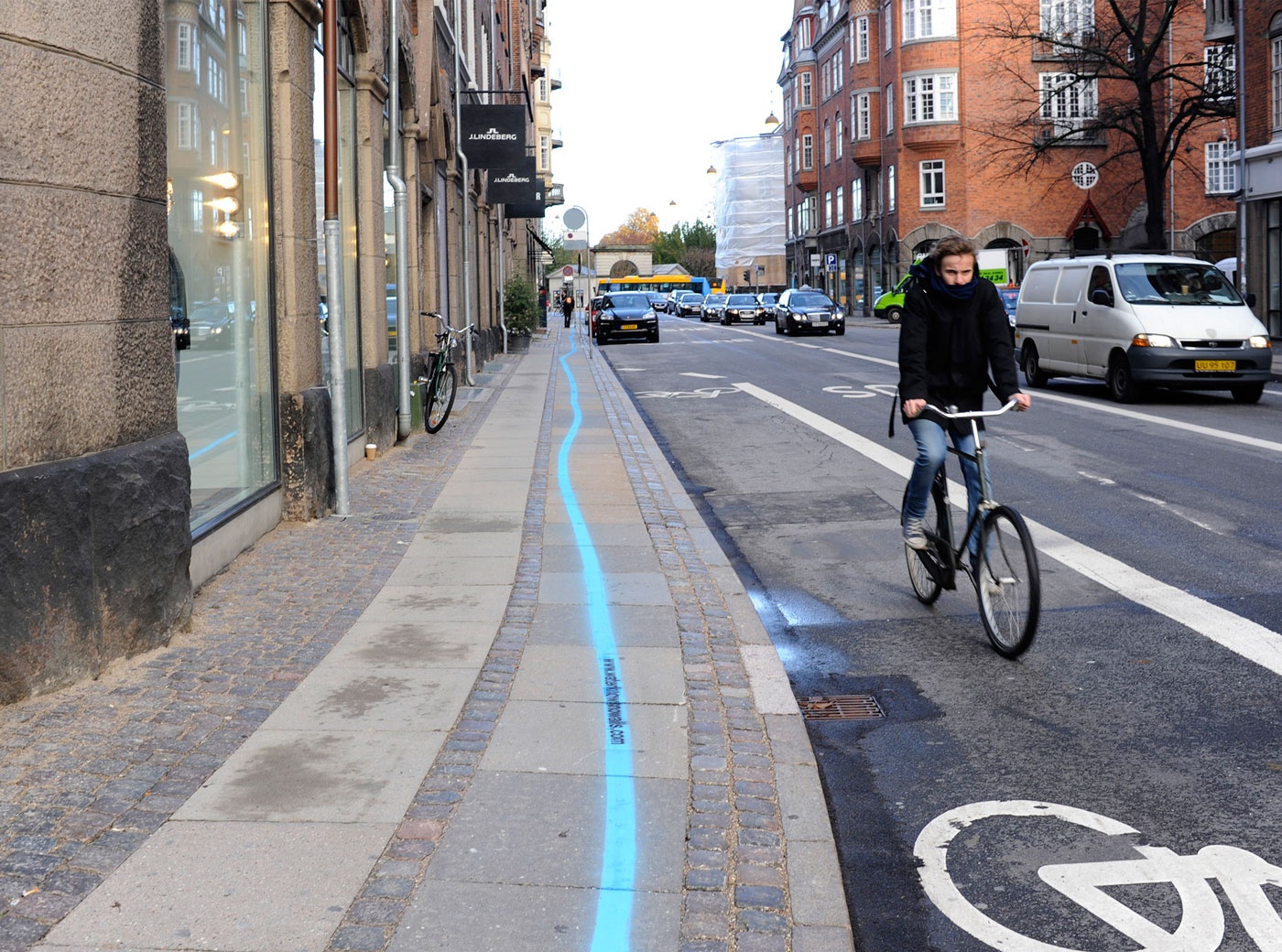
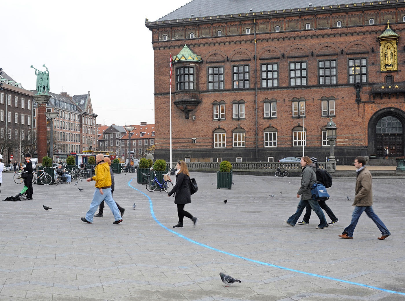
Blaue Markierungsfarbe, projektbegleitende Website; Intervention im öffentlichen Raum anlässlich der Ausstellung “Rethink Kakotopia”, Kunsthallen Nikolaj, H+Z, Kopenhagen 2009
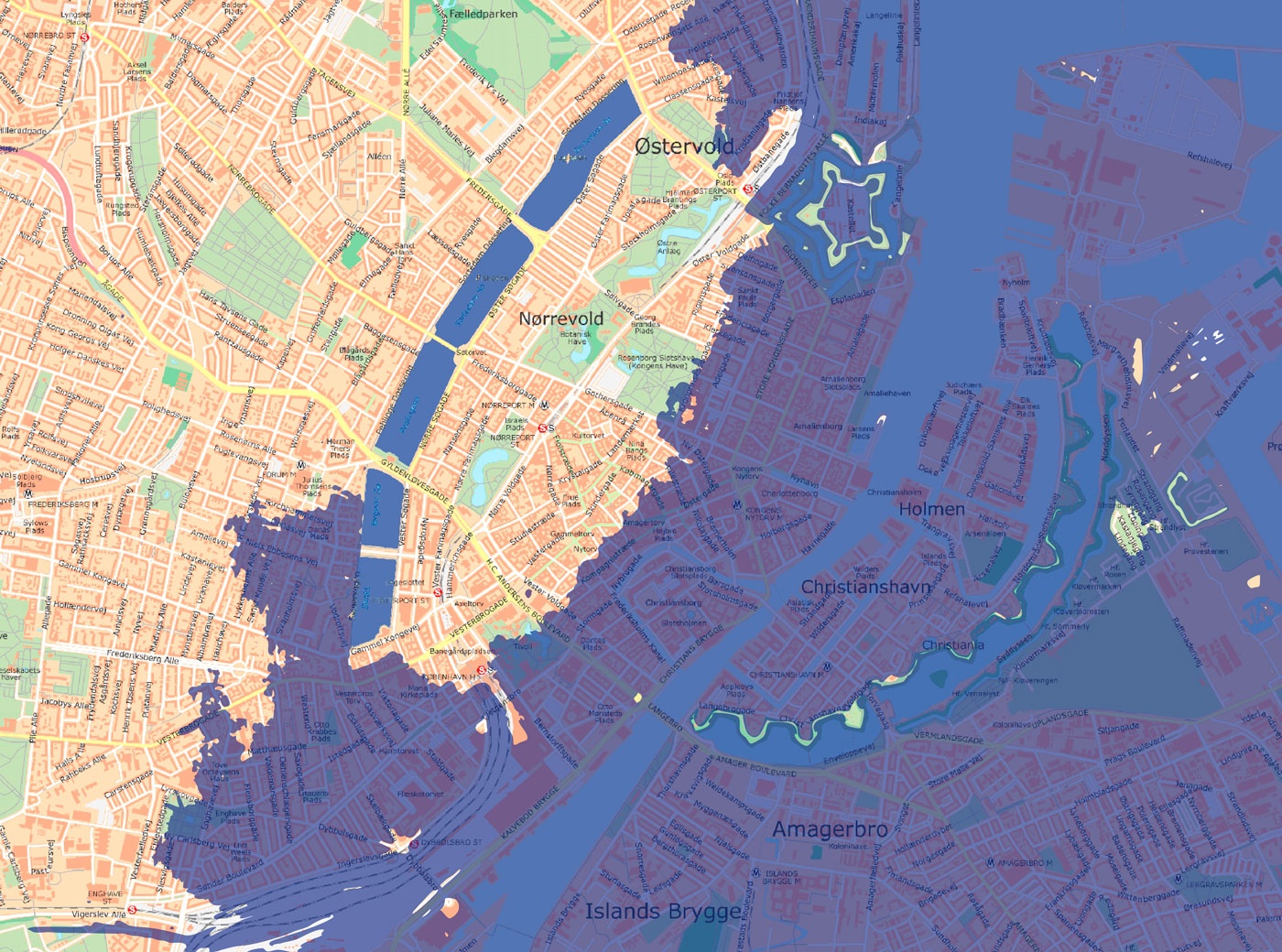
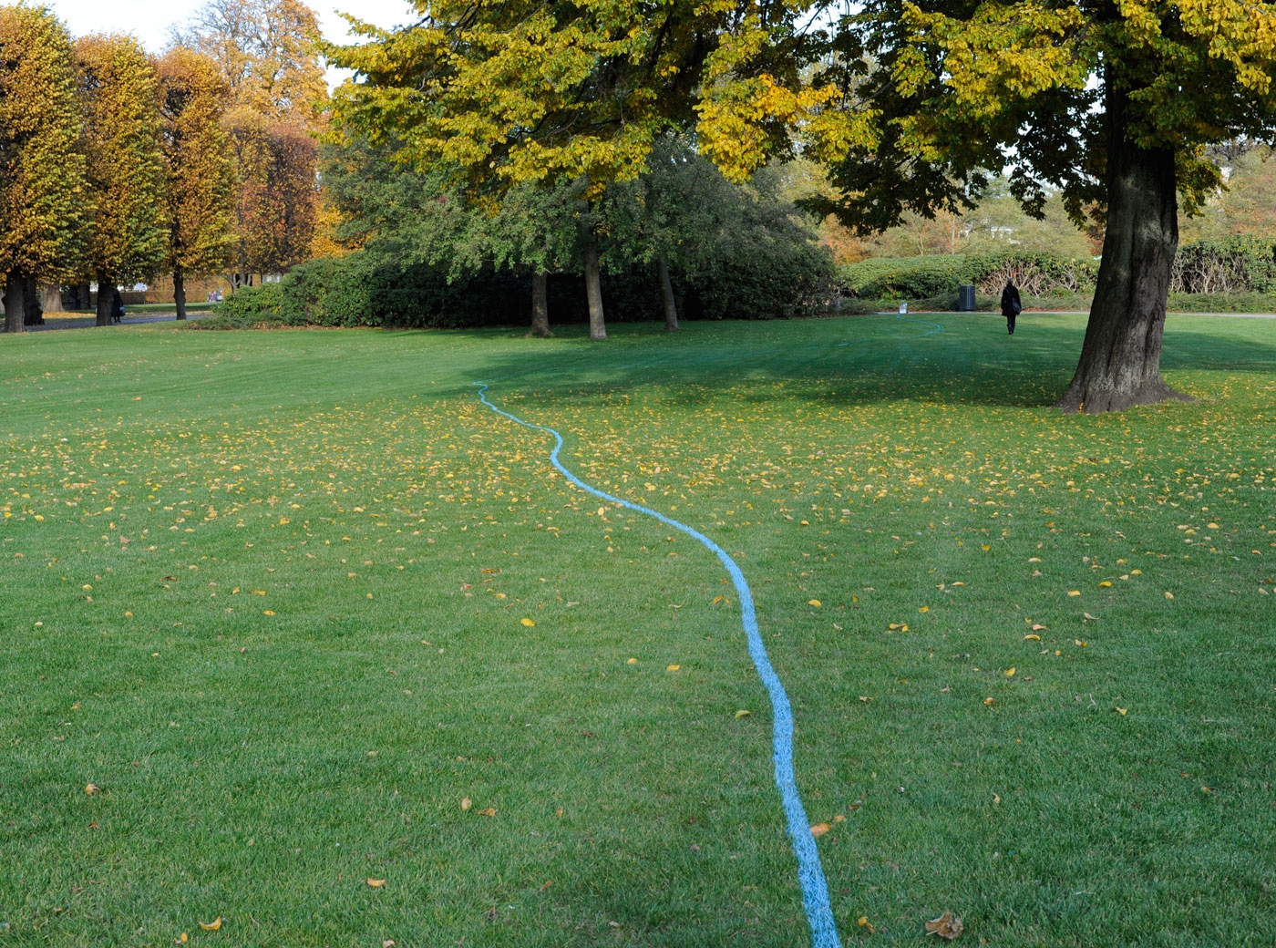
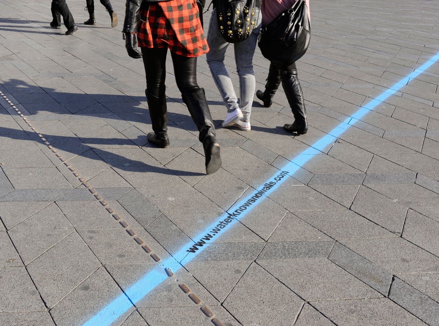
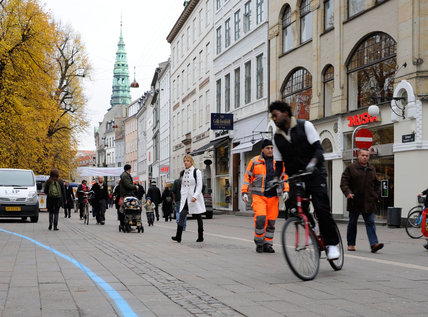
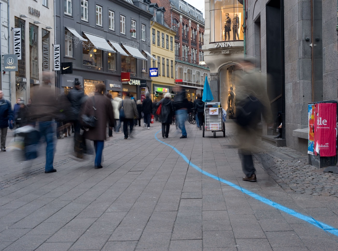
Ein vollständiges Abschmelzen des Grönlandeises infolge des Klimawandels hätte einen Anstieg des Meeresspiegels von 7m im globalen Mittel zur Folge. Haubitz+Zoche haben des Katasteramt der Stadt Kopenhagen beauftragt, eine topografische Karte zu erstellen, die die überschwemmten Gebiete in der Innenstadt markiert. Diese Höhenlinie haben die Künstlerinnen als etwa 3 km lange blaue Linie in den Stadtraum übertragen, wodurch die wissenschaftlichen Erkenntnisse für die Passant*innen physisch erfahrbar werden. Es wird deutlich, dass mehr als die Hälfte des Stadtzentrums überflutet werden würden und die Gebiete, die durch Landgewinnung entstanden, wie z.B. Christanshavn, wieder im Meer verschwinden würden.
WATERKNOWSNOWALLS
blue marking colour, website accompanying the project; public art project on the occassion of the exhibition "Rethink Kakotopia", Nikolaj Contemporary Art Center, H+Z, Kopenhagen, 2009
According to scientific research water levels of the ocean would rise by an average of seven meters around the world, if all the inland ice of Greenland were to melt due to climate change. Haubitz+Zoche have taken these calculations as a starting point for their project investigating the consequences that would arise for Copenhagen. The artists commissioned a map by the Danish National Survey and Cadastre (KMS) showing accurately which parts of the city would be flooded. They have transferred this contour line into public space by marking it with blue paint on the pavement of the city center over a length of approx. 3 km. The scientific evidence can thus be physically experienced. It becomes evident that more than half the city center would be flooded and most of the neighborhoods created by filling in extra soil, such as Christianshavn, would disappear back into the sea.